Introduction to Urban Data Analytics
Current Syllabus
Previous Semesters
Course Description
This course- provides a basic intro to census data collection, processing, and analysis;
- explores visualization and story mapping techniques in planning;
- teaches methods of urban analytics; and
- provides a socio-economic-political context for urban analytics, focusing on data ethics and governance.
Synopsis
GGR377 introduces students to the systematic analysis of urban data in its institutional context including collecting, analyzing, modeling, and interpreting quantitative and qualitative data used to inform robust research, and, ultimately, urban planning practice and policymaking. Students will be introduced to theory and critical discourses on topics such as big data, open data and e-governance. Instructors will expect students to engage with technical and theoretical - with particular focus placed on ethical - considerations associated with these subjects in lecture and laboratory sections. The course will introduce students to programming in Excel and Python, using open source software, accessing open and scraped data, and other tools and techniques for urban analysis. The course will be structured following three (3) modules:Module 1: Introduction to Urban Data
During this module students will be introduced to fundamental data applications and ethical dilemmas in urban planning, as well as presenting data through written reports and visualizations. In Module 1, students will gain skills in working with Census data, and static data visualization. The deliverable for this module will be a descriptive profile of a Toronto neighborhood.Module 2: Mapping and Researching the City
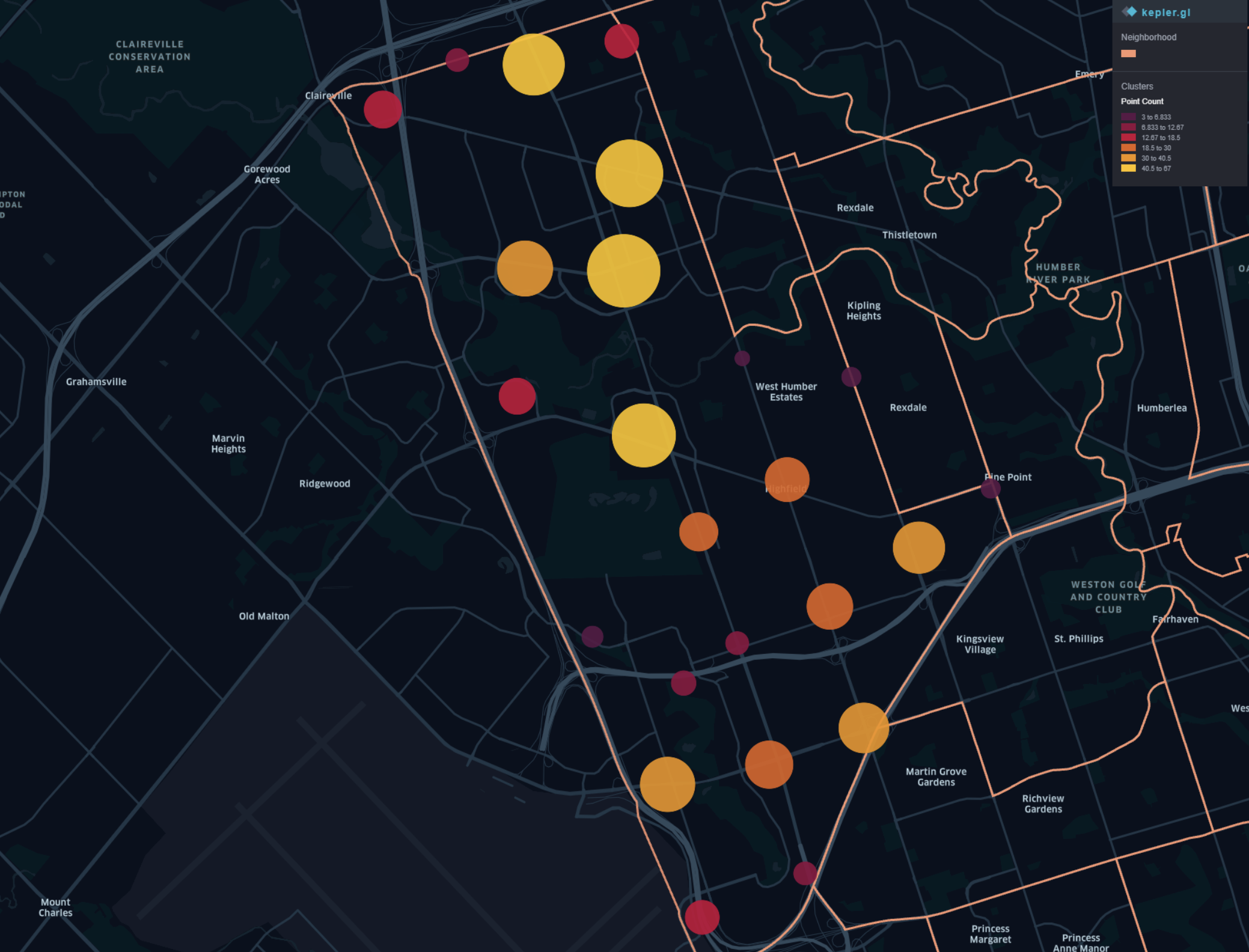
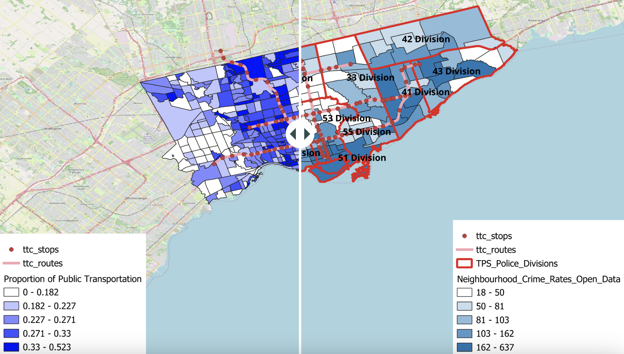
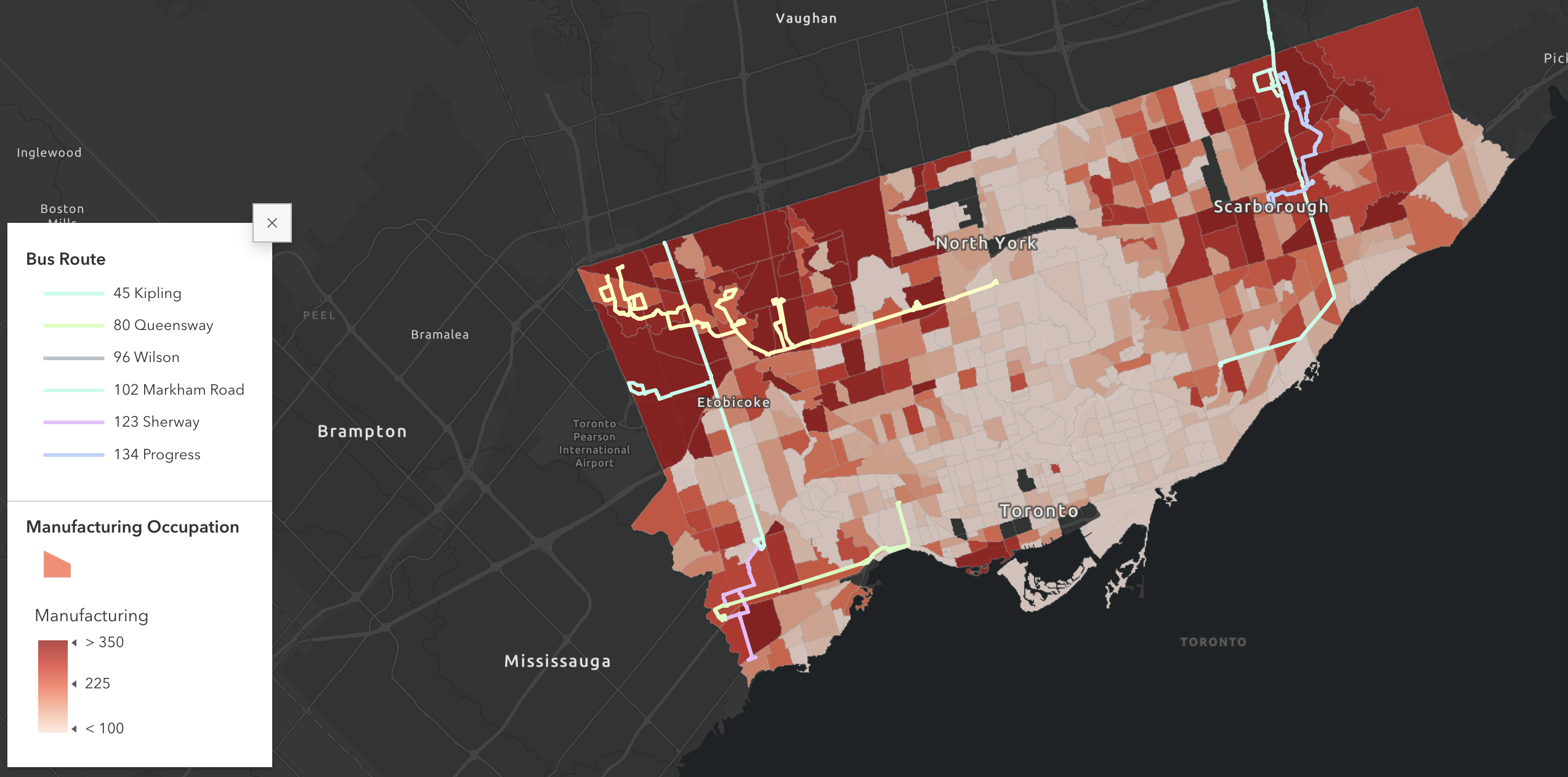
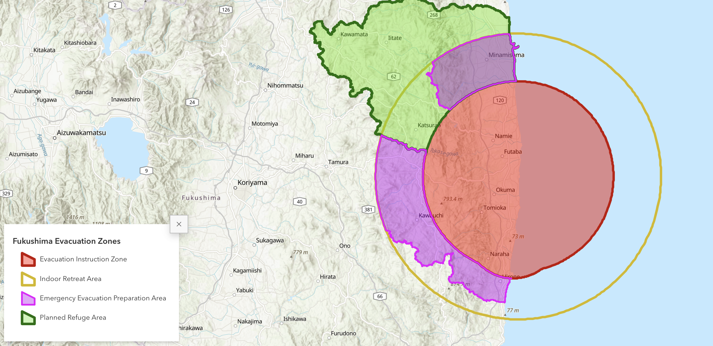
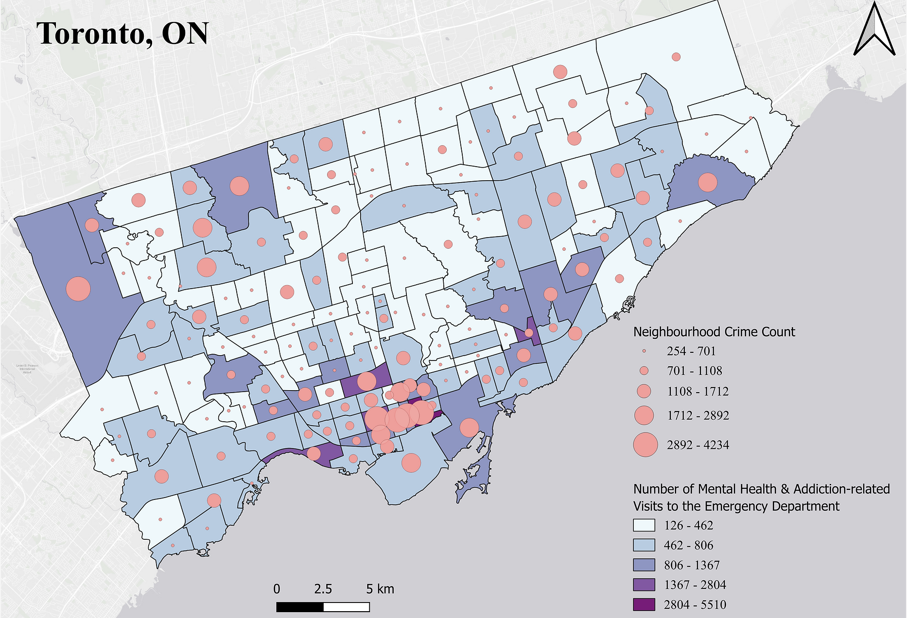
Next, students will learn different tools to make maps. We will gain an understanding of the basic elements of maps, how to map with online programs and geographic information systems software, and, as the module’s product, how to construct story map websites. We will explore how to construct research questions and design projects, and use the story map assignment as the initial exploration for the final project.Module 3: Data Science for Planners: Big Data and Analytics
Finally, students will use knowledge acquired in earlier modules to explore urban data analytics as a research approach. Classes will cover topics such as big data, open data, and volunteered geographic information; and students will gain skills in real-time and crowd-sourced data collection and use. As the final project, students will build on their exploratory assignment in Module 2 to answer a research question with innovative data sources.------------ This class was created by Karen Chapple, Professor of Geography and Planning at the University of Toronto and Professor Emerita of City and Regional Planning at the University of California, Berkeley. Additional content provided by Manuel Santana Palacios, assistant professor at Ohio State University.
